Tongod District · Interior Sabah · Borneo

Maliau Basin: the Lost World, and what it takes to get inside.

A saucer of rainforest 25 kilometres across, walled by sandstone cliffs, never permanently inhabited, and closed to anyone without a permit and a registered guide. This is the complete guide to visiting it.

Agathis Nepenthes Ginseng Maliau Falls SANDSTONE ESCARPMENT RIM

Schematic — not to scale. Camp positions indicative.

Conservation area588.4 km²
Escarpment rim1,675 m
Drive from KK5–6 hrs
EntryPermit only
Wide view across the Maliau Basin interior from the escarpment rimimg/maliaubasin-hero.jpgWide view across the Maliau Basin interior from the escarpment rim21/9
What it is

What Maliau Basin actually is

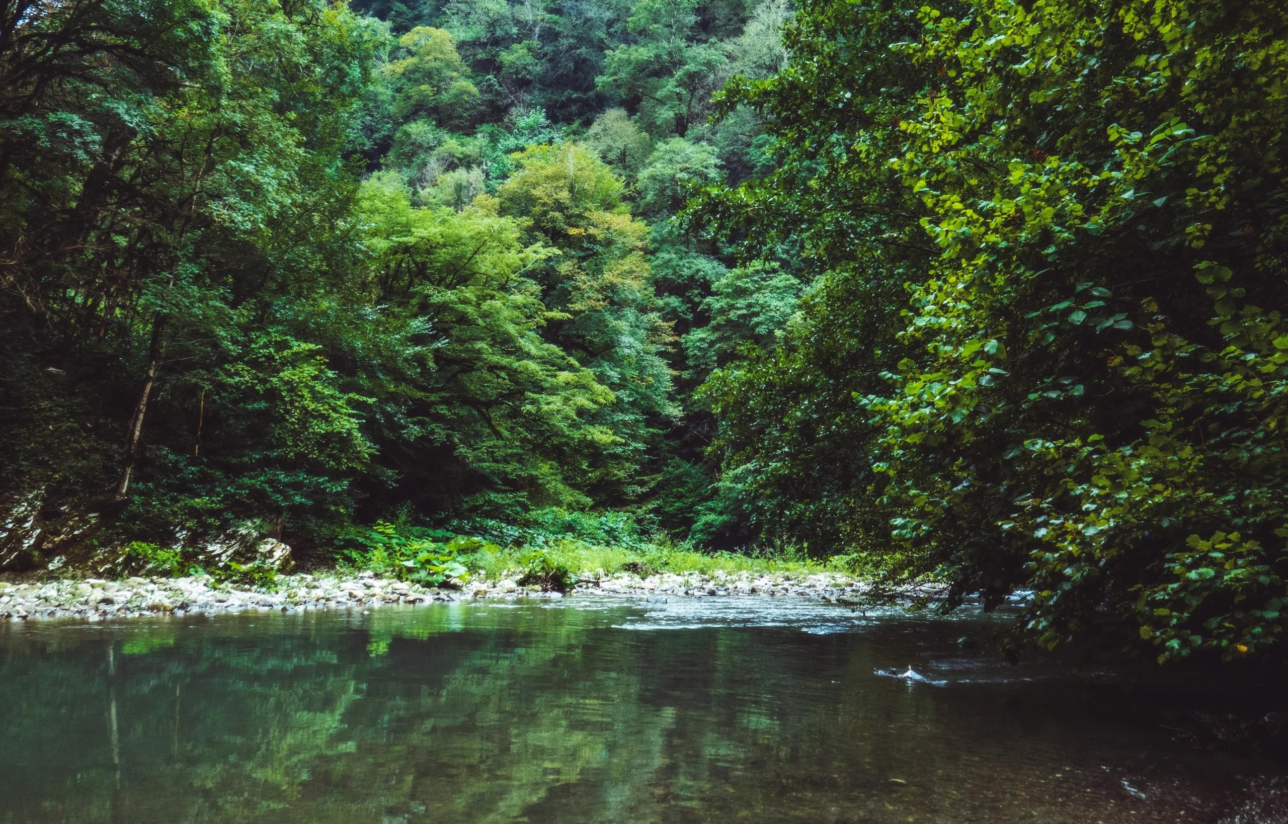
Maliau Basin is a roughly circular bowl of primary rainforest in south-central Sabah, in the Tongod District, about 40 kilometres north of the Kalimantan border and 190 kilometres inland from Tawau. It is often described as a crater, which is understandable and wrong. There was no impact and no volcano. The basin is a sedimentary formation, built from gently inclined beds of sandstone and mudstone, and the resemblance to a caldera is a coincidence of erosion.

What makes it unusual is the wall. The perimeter is delimited on almost every side by cliffs or extremely steep slopes, which makes the basin effectively unclimbable on foot from most directions. That single geographic fact explains everything else about the place: no one ever settled inside it, no logging concession ever worked it, and it stayed off the map long after the rest of Sabah had been surveyed. The first proper scientific expedition into the interior only took place in 1988.

The whole thing is a single water catchment. Every stream inside the rim feeds the Maliau River, which escapes through a gorge in the south-east corner into the Kuamut, and eventually into the Kinabatangan, Sabah's longest river. The water runs a dark tea colour, stained by tannins leaching out of the peaty leaf litter and heath forest above.

How big Maliau Basin is, exactly

The numbers get quoted loosely, so it is worth separating them. The Maliau Basin Conservation Area covers 588.4 square kilometres, or 58,840 hectares. Of that, the basin itself accounts for about 390 square kilometres. The remaining 198.4 square kilometres is forested land to the east and north of the rim, added when the boundary was extended, and it includes Lake Linumunsut, thought to be Sabah's only freshwater lake that is not an oxbow.

The highest point sits on the northern rim at over 1,675 metres above sea level, and by the admission of the conservation area's own management it has still never been accurately surveyed. That tells you most of what you need to know about how thoroughly this place has been documented.

Why it is called the Lost World

The nickname is a tourism label, but it earned it. Roughly a third of the basin is open to visitors. Less than half has been properly explored by researchers. Around 70 kilometres of marked trails exist, which sounds like a lot until you set it against the area they cover.

The Murut name for the area translates roughly as the land of the giant staircase, a reference to the stepped landscape and the extraordinary number of waterfalls stacked down it. Maliau has more waterfalls than anywhere else in Malaysia.

Maliau and Danum Valley were protected in the same year, 1981, under Yayasan Sabah's long-term forest management plan. Danum became a world-famous research station with a lodge, an airstrip route and a canopy walkway. Maliau did not. In 1997 the Sabah State Legislative Assembly gazetted it as a Class I Protection Forest Reserve, the highest level of protection available, and it has stayed deliberately hard to reach ever since.

Forested interior of Maliau Basin seen from the sandstone escarpment rim in Sabah.img/maliaubasin-escarpment.jpgBasin interior seen from the sandstone rim4:5 portrait
Photo — Remarkable Borneo
  • Conservation area588.4 km²
  • The basin itself390 km²
  • Diameter~25 km
  • Highest point (north rim)1,675 m
  • Protected since1981
  • Class I reserve1997
  • Managed byYayasan Sabah
  • Settlements, everNone
  • Marked trails~70 km
  • Open to visitors~1/3 of basin
The forest

Twelve forest types stacked inside one rim

Most rainforest destinations show you one habitat. Maliau Basin stacks several on top of each other, because the ground rises from lowland floor to montane rim inside a single enclosed catchment. Walking the loop, you pass through the transitions in a matter of hours rather than days.

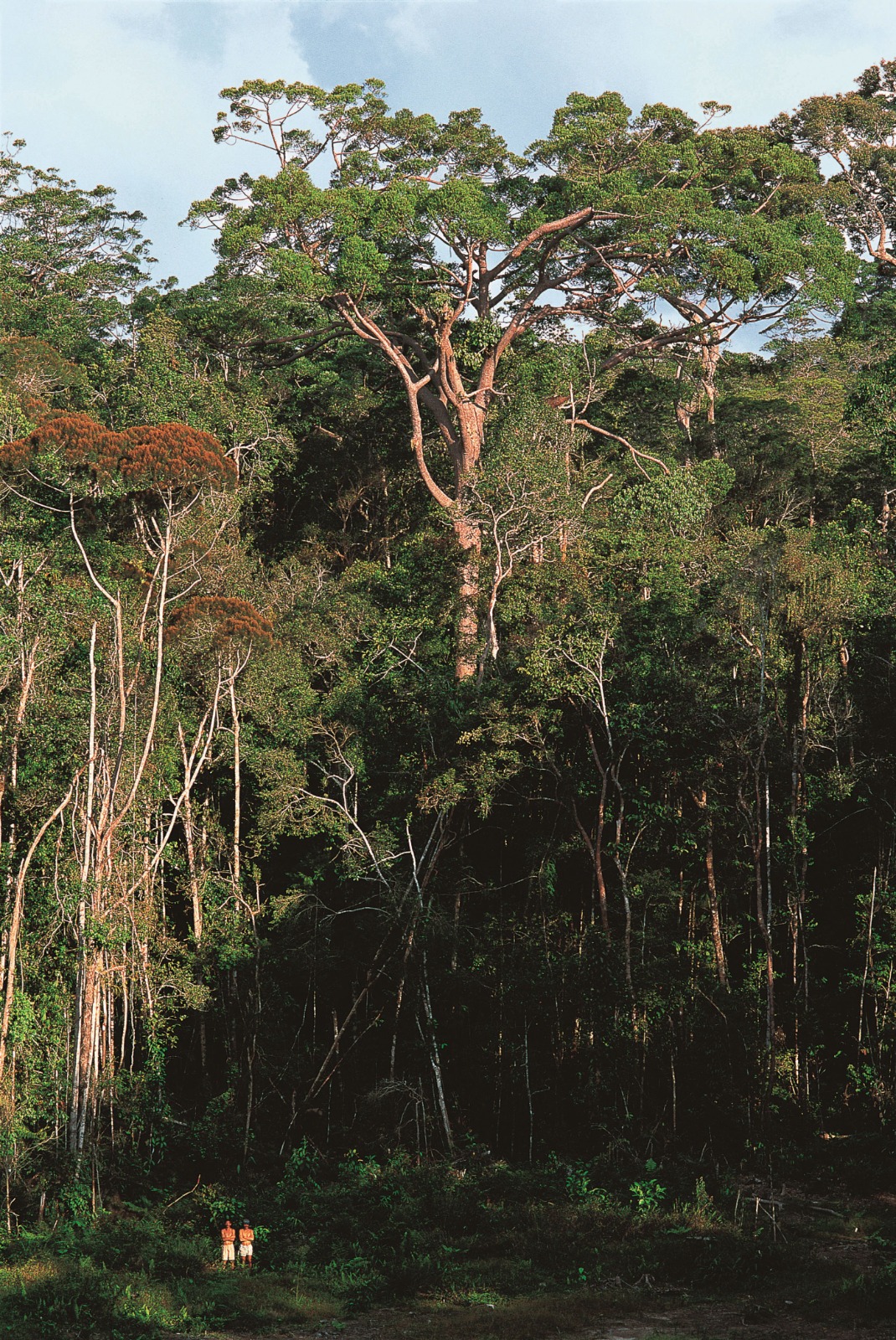
Lowland and hill dipterocarp forest covers the basin's outer slopes and lower ground, the classic tall Bornean rainforest with buttressed giants and a closed canopy.

Lower montane forest takes over higher up, dominated by huge Agathis conifers, mixed with oaks, laurels and Dacrydium. It grades into mossy cloud forest on the northern rim. The riverbanks here are lined with distinctive Dipteris ferns.

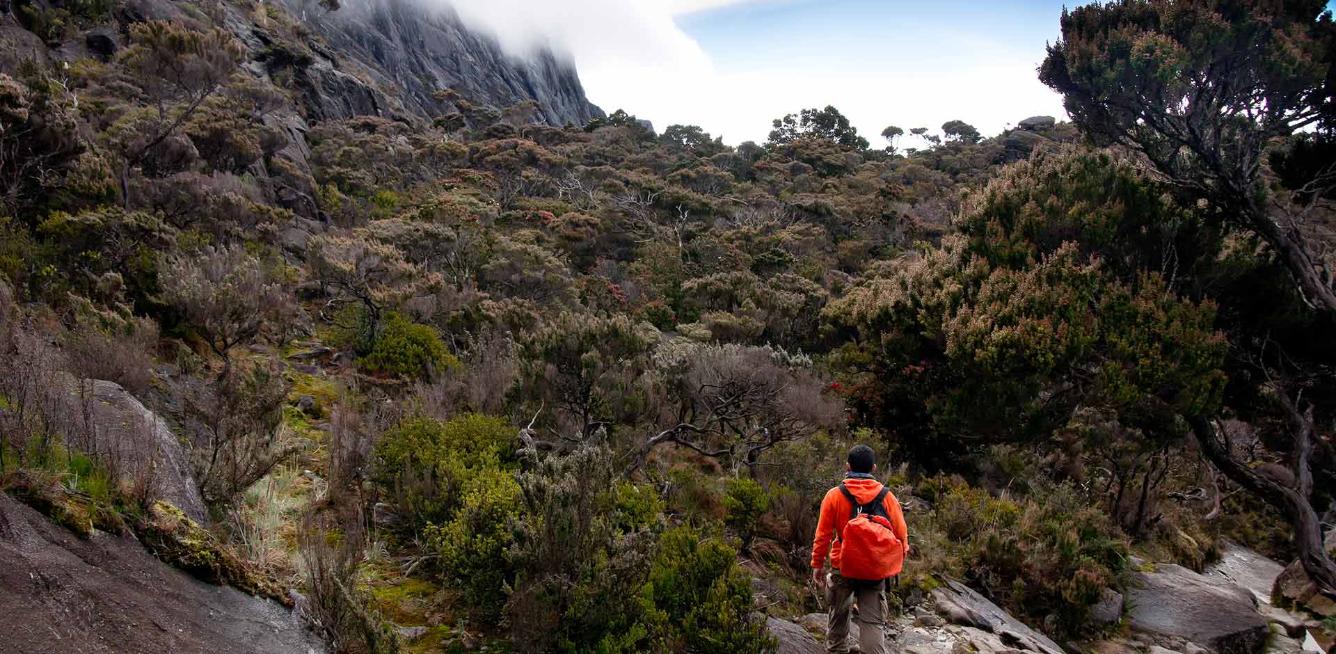
Montane heath forest occupies the flatter areas on nutrient-poor, acidic soil. This is the stunted, strange-looking forest people photograph most: ant plants, rhododendrons and pitcher plants growing thickly in poor ground. Nine species of pitcher plant have been recorded in the basin, and more than 80 species of orchid.

Stunted montane heath forest with pitcher plantsimg/forest-heath.jpgStunted montane heath forest with pitcher plants4/3
Agathis conifers in lower montane forestimg/forest-agathis.jpgAgathis conifers in lower montane forest4/3

An estimated 1,800 tree species grow here, several dozen of which are formally listed as endangered or close to extinction.

Wildlife

Wildlife in Maliau Basin, and how likely you are to see it

Eighty-two mammal species have been confirmed inside the conservation area and close to 300 bird species recorded. Both figures keep moving, because expeditions keep finding things. What matters for a visitor is that dense forest and low visitor numbers cut both ways: the animals are there, and they are very hard to see.

Bornean Pygmy Elephant

Elephas maximus borneensis

Present in the conservation area and occasionally encountered on access roads during night drives. Not a reliable sighting.

Occasional

Bornean Orangutan

Pongo pygmaeus

Confirmed resident, but nothing like the densities around Danum's lodges. Expect a nest sighting more often than an animal.

Uncommon

Sunda Clouded Leopard

Neofelis diardi

Confirmed and almost never seen. Night drives on the road in are the realistic chance, and it is a small one.

Rare

Bornean Bristlehead

Pityriasis gymnocephala

One of the birds people fly to Borneo specifically to find. Maliau is a genuinely good place to look for it.

Good for birders

Bornean gibbon in the canopyimg/wildlife-gibbon.jpgBornean gibbon in the canopy3/2
Hornbill perched above the basin floorimg/wildlife-hornbill.jpgHornbill perched above the basin floor3/2
Nepenthes pitcher plant in heath forestimg/wildlife-pitcher.jpgNepenthes pitcher plant in heath forest3/2

What you are more likely to actually encounter

Bornean gibbons, heard far more often than seen. Red-leaf monkeys. Bearded pigs. Sambar and barking deer. Civets on night walks. Hornbills, including a notable concentration of helmeted hornbill calling in the late evening. For birders the headline species are Bulwer's Pheasant, Giant Pitta, Bathawk and the Bristlehead.

Amphibians are a genuine highlight, with more than 30 species recorded, among them a frog that breeds inside pitcher plants. The acidic water supports very few fish, which is part of why the frogs do so well.

One thing other guides get wrong

A number of Maliau Basin pages still list the Sumatran rhinoceros among the wildlife you might see. Historical records for the basin exist, but the species was declared extinct in Malaysia after the last known individual died in 2019. If a tour page is still selling you rhino, treat the rest of its information carefully.

Banteng and the elusive Bay Cat have been recorded, though generally on the fringes of the conservation area rather than the trekking routes.

The full trekking loop · 5D4N

The Maliau Basin trekking loop, day by day

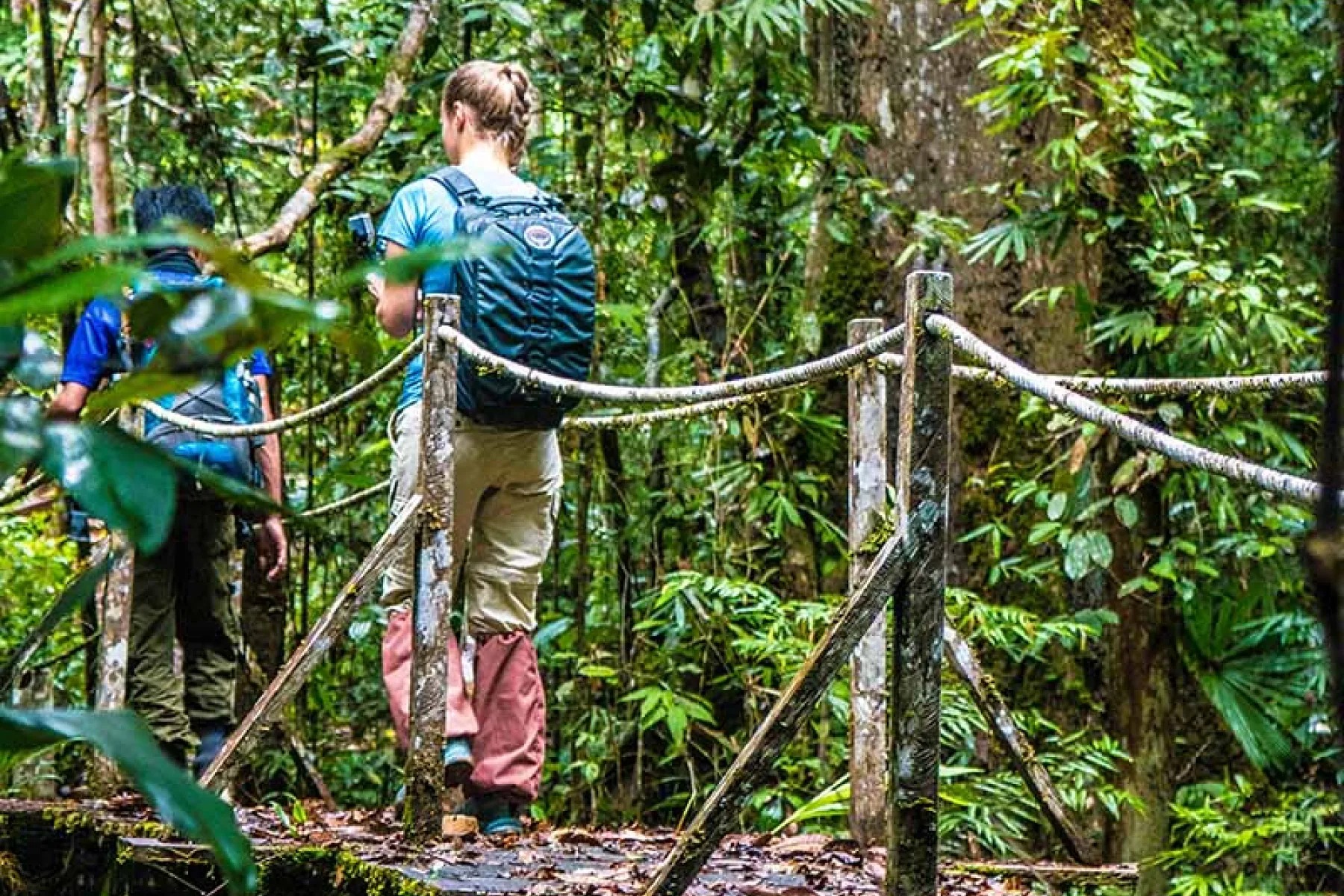
The complete loop is what most people mean when they say they trekked Maliau. It is a genuine sequence, each camp reachable only from the one before, so here it is in the order you walk it. Around 32 kilometres on foot across five days.

  1. Kota Kinabalu to Maliau Basin Studies Centre

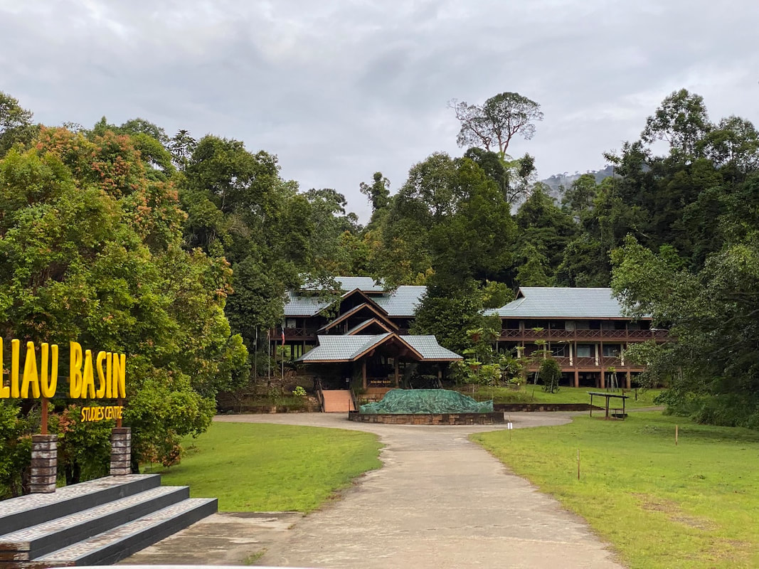
    Early pickup, then five to six hours through the Crocker Range with a supply stop at Keningau. Register at the Maliau Basin gate, then another 30 to 40 minutes to the Studies Centre. Lunch on arrival, orientation briefing, and a walk around the centre in the afternoon. After dinner, a guided night walk or night drive depending on weather and road conditions.

    Overnight MBSC Deluxe
    Meals L, D
  2. Agathis Camp to Nepenthes Camp

    Transfer to Agathis, the trailhead, and begin the loop with a steep ascent. This is the hardest single section of the trek and it comes early, which most people find easier than the reverse. Optional two to three hour return walk to Takob Akob Falls, a 38 metre drop and the tallest waterfall in the basin, if your legs allow.

    Distance 7.5 km
    On foot ~5 hrs
    Overnight Nepenthes Camp
  3. Nepenthes Camp to Ginseng Camp

    The most varied day and the least punishing. The trail moves from lower dipterocarp forest into lower montane and then heath forest, which is where the pitcher plants are thickest. Gibbons and red-leaf monkeys are regularly encountered along this stretch, and rafflesia blooms occasionally. Ginseng Falls is a short walk from camp and swimmable.

    Distance 7 km
    On foot ~5 hrs
    Overnight Ginseng Camp
  4. Maliau Falls

    Out and back to the basin's signature waterfall, a seven-tiered cascade and the image most people have in their head before they arrive. The final section is a steep climb with fixed ropes for assistance. Long stop at the falls with a packed lunch before the return leg to Ginseng.

    Distance 4.5 km each way
    On foot 2–3 hrs each way
    Overnight Ginseng Camp
  5. Ginseng Camp to Agathis, then back to Kota Kinabalu

    The longest walking day, back out to Agathis where the driver is waiting. Clean up, then the five to six hour road journey out. Expect to reach Kota Kinabalu around 7pm. Drop-offs at Semporna or Tawau can be arranged instead if you are continuing east.

    Distance 9 km
    On foot ~5 hrs
    Meals B, L
The seven-tiered Maliau Fallsimg/trek-maliau-falls.jpgThe seven-tiered Maliau Falls3/2
Dormitory bunks at Ginseng Campimg/trek-camp-interior.jpgDormitory bunks at Ginseng Camp3/2

What the camps are actually like

This is the part worth being blunt about, because it is where expectations break. The satellite camps give you a bed and a pillow. No blanket, no towel, no power, no hot water. You carry your own sleeping bag. Cooks travel with the group and the food is generally better than people expect, but the accommodation is a shelter, not a lodge.

Belian Camp sits about 25 kilometres from the security gate and within walking distance of the Studies Centre, so it functions differently from the interior camps. Agathis, Nepenthes and Ginseng are the trekking camps proper.

How fit you need to be

Moderate to good. The daily distances are not extreme, but the terrain is uneven, the humidity is constant, there are river crossings, and you do it on consecutive days with a pack. Some operators require a fitness declaration. If you have done multi-day treks in the tropics before, you will be fine. If your reference point is a day hike in temperate weather, be honest with yourself.

Maliau is generally not recommended for young children. The remoteness, the travel time, the basic facilities and the physical demand suit adults and older teenagers with outdoor experience.

Two ways in

Two ways to visit Maliau Basin

Every trip starts at the same gate and diverges sharply after that. The real difference is not budget so much as how much discomfort you will trade for how deep you get.

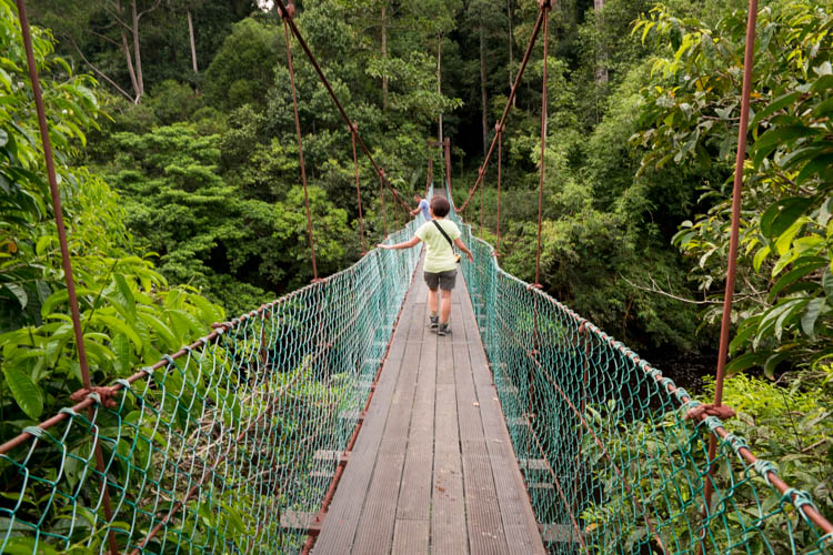
Raised boardwalks at the Studies Centreimg/waysin-studies-centre.jpgRaised boardwalks at the Studies Centre16/9
Studies Centre · 3–4 days

Stay at the Maliau Basin Studies Centre

A proper building, a proper bed, and guided day walks out from it. You get the forest, an observation tower, night drives and the biodiversity briefing. What you do not get is the interior: the falls and the camps stay out of range on a centre-based trip.

Best for: first visit · limited time · mixed fitness

Compare centre packages
Trekkers on the trail between campsimg/waysin-trekking.jpgTrekkers on the trail between camps16/9
Trekking · 4–5 days

Walk the camp loop

Agathis, Nepenthes, Ginseng and Maliau Falls, on foot, carrying your own kit and sleeping in camps. It is the reason the basin has the reputation it has, and it is not a soft trip.

Best for: experienced trekkers · good fitness · 5 clear days

Read the full loop

Both routes are permit-controlled, guide-only and capped by camp space, so dates get decided months ahead rather than weeks. Packages start in the low RM3,000s per person and rise with the full trekking loop — current prices and inclusions are set out in full here.

Access

Maliau Basin permits, guides and entry rules

You cannot visit Maliau Basin independently. Permission must be obtained in advance from Yayasan Sabah's Conservation and Environmental Management Division, every group must be accompanied by a registered guide or ranger, and itineraries have to be approved before arrival. There is no walk-up option and no way to arrange it at the gate.

In practice this means almost everyone books through a licensed Sabah tour operator, who handles the permit application, the conservation fee, the guide, the transport and the camp bookings as one package. Doing it yourself is theoretically possible and rarely worth the effort.

What the fees cover

A typical package price includes accommodation, the conservation fee, all land transfers, meals as listed in the itinerary, a non-DSLR camera fee and guided jungle trekking. Note that camera fee: bringing a DSLR into the conservation area attracts a separate charge, and it catches people out.

Not usually included: tourism tax at RM10 per room per night, which applies to foreign visitors only and is paid at check-in, beverages, personal travel insurance, airfares and airport taxes, tips and anything personal.

Minimum group size

Two people is the standard minimum for a scheduled package. Solo travellers can usually join an existing departure rather than pay a single-occupancy premium, but that depends entirely on what is already on the calendar, which is another argument for asking early.

How far ahead to book

Camp space and permits are limited by design, and the conservation area deliberately caps the number of visitors admitted. Popular months fill first. Several months of lead time is normal, and for peak dry-season dates it is the minimum sensible.

Getting there

How to get to Maliau Basin

There is one road in and much of it is unsealed. Nearly everyone starts from Kota Kinabalu, though Tawau is closer if you are already on the east coast.

StartKota KinabaluPickup around 7:00am

Crocker Range

Supply stopKeningauLast chance for anything forgotten

5–6 hrs total

CheckpointMaliau Basin gatePermit registration

30–40 mins more

ArrivalStudies CentreLunch, check-in, briefing

You have arrived

From Kota Kinabalu

Five to six hours by road, running south through the Crocker Range and out to Keningau before turning east into the interior. It is a long drive with genuinely scenic sections, and the last stretch is rough. Transfers are almost always arranged as part of the package rather than self-driven.

From Tawau or Semporna

Shorter, roughly four hours from Tawau, and a sensible option if Maliau is being bolted onto a Semporna or Sipadan trip. Most operators will arrange pickup and drop-off from either on request.

Can you drive yourself?

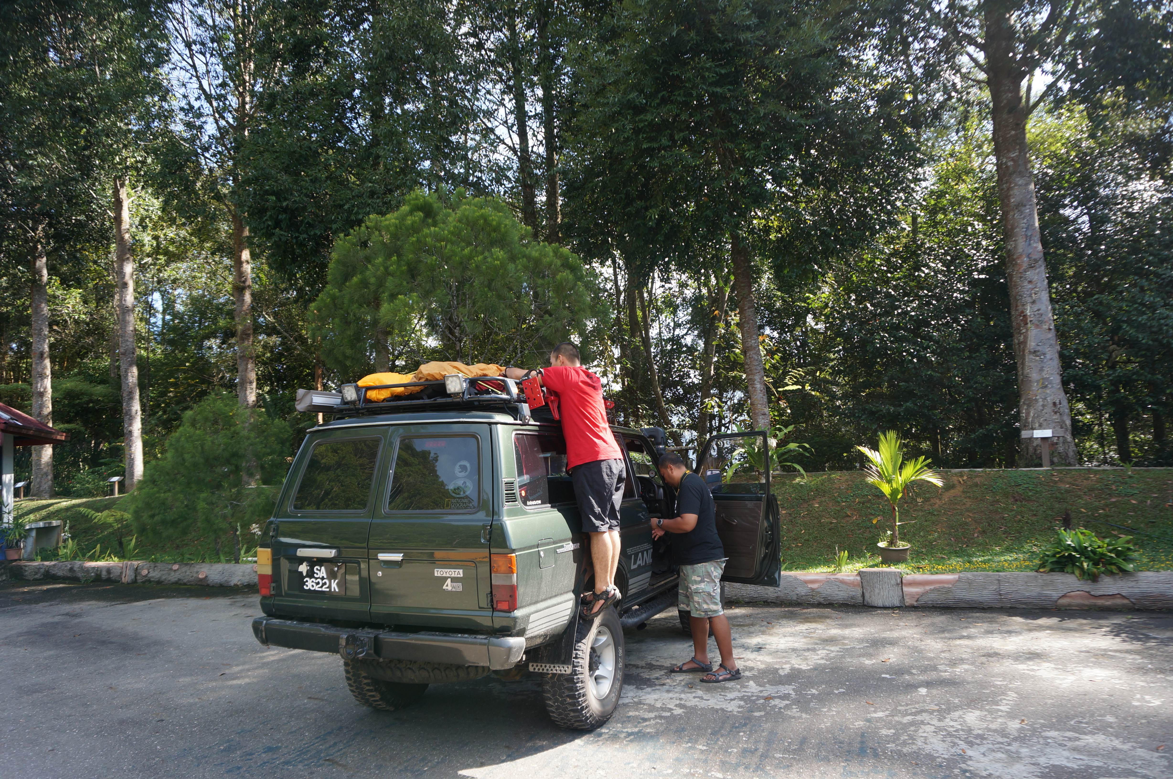
No, in any practical sense. Even setting aside the permit requirement, the access road demands a four-wheel drive, there are no facilities along it, and communications are limited once you leave the main road. The conservation area is explicit that this is remote, rugged and isolated terrain with limited safety infrastructure.

Timing

The best time to visit Maliau Basin

The drier months, broadly March through October, are the sensible window. Trail conditions are safer, river levels are more predictable, and the chance of a washed-out itinerary drops considerably.

That said, this is equatorial rainforest and rain is possible in any month. There is no dry season in the sense that a temperate visitor would recognise, only a less wet one. Wet-month visits can mean trail closures, altered activities or a shortened loop, and those calls are made on safety grounds rather than preference.

If you have flexibility, the middle of the window is the safest bet for the full trekking loop. If your dates are fixed and fall outside it, a centre-based itinerary is the more robust choice, because it depends far less on trail and river conditions.

Choosing

Maliau Basin or Danum Valley?

This is the question most people are really asking, and the honest answer is that they are not competing for the same traveller.

Danum Valley is a wildlife destination. Higher animal densities, a comfortable lodge option, a canopy walkway, shorter transfers, and a realistic chance of seeing orangutans without suffering for it. If the priority is wildlife photography or a first Borneo rainforest experience, Danum is the better answer and it is not close.

Maliau Basin is an expedition. The draw is the landscape, the isolation and the fact that you walked into somewhere most people cannot go. Wildlife sightings are a bonus rather than the product. If you have already done Danum, or if the appeal is the trek itself, Maliau is the one.

Cost is closer than people assume once you compare like for like, and Maliau takes more days. The deciding factors are usually fitness, available time and whether you want to sleep in a chalet or a camp.

Read the full comparison, with itineraries and costs side by side.

Preparation

What to pack for Maliau Basin

Camps supply a bed and a pillow. Everything else is on you. The list operators actually issue looks like this:

  • Hiking boots or Adidas Kampung. The rubber-studded local shoe grips wet roots better than most trekking boots and costs a fraction as much. Any Sabah shoe shop stocks them.
  • Leech socks, or football socks as a substitute. Bring spares. Wet socks stay wet.
  • A 40 litre rucksack or larger, depending on how much you are carrying.
  • Three sets of clothing: one to trek in, one to sleep in, one spare. Trekking trousers over shorts.
  • A battery head torch, not a rechargeable one. There is no power at the camps.
  • Sleeping bag. No blanket or towel is provided.
  • Dry bags for anything that must stay dry, and a bin liner for wet clothes.
  • Basic first aid kit, personal medication, plasters, antihistamines.
  • Water bottle, at least one litre, light rather than insulated.
  • Quick-dry towel, toiletries, raincoat, slippers for camp, and a light jacket for the cooler montane nights.

Malaria and mosquitoes

Malaria risk across Sabah's towns and main tourist areas is low, but it is higher in deep interior rainforest, and dengue is present in Borneo generally, carried by daytime mosquitoes. Speak to a travel clinic before you go rather than taking a website's word for it. DEET-based repellent, long sleeves and trousers in the evening, and sleeping under a net where one is provided all help.

Common questions

Maliau Basin FAQ

Where is Maliau Basin?

In the Tongod District of south-central Sabah, Malaysian Borneo, roughly 40 kilometres north of the Kalimantan border and about 190 kilometres inland from Tawau. It sits within the Sandakan Division and is managed by Yayasan Sabah.

Do you need a permit to enter Maliau Basin?

Yes. Permission must be obtained in advance from Yayasan Sabah, every group must be accompanied by a registered guide or ranger, and itineraries are approved before arrival. There is no independent or walk-up access. In practice, a licensed tour operator arranges the permit as part of the package.

How difficult is the Maliau Basin trek?

Moderate to hard. The full loop covers roughly 32 kilometres across five days, with a steep ascent on the first trekking day, uneven terrain, river crossings and constant humidity. Daily distances are not extreme but they are consecutive, and camp facilities are basic. A moderate to good fitness level is the standard requirement, and some operators ask for a fitness declaration.

How much does a Maliau Basin trip cost?

Packages generally start in the low RM3,000s per person for a shorter centre-based itinerary and rise for the full trekking loop, with a minimum of two people. Prices typically include the conservation fee, transfers, meals and guiding, and exclude tourism tax, insurance and flights. Current package prices are listed in full on the packages page.

When is the best time to visit Maliau Basin?

March to October, with the middle of that window the most reliable. Rain is possible year-round, and wet-season visits can involve trail closures or altered itineraries for safety reasons.

How do you get to Maliau Basin from Kota Kinabalu?

By road, five to six hours, travelling south through the Crocker Range via Keningau before turning into the interior. Registration takes place at the Maliau Basin gate, then a further 30 to 40 minutes brings you to the Studies Centre. From Tawau the drive is shorter, around four hours.

What wildlife lives in Maliau Basin?

Eighty-two mammal species have been confirmed, including Bornean pygmy elephant, orangutan, clouded leopard, Malayan sun bear, gibbons and bearded pigs. Close to 300 bird species have been recorded, among them the Bornean Bristlehead, Bulwer's Pheasant, Giant Pitta and several hornbill species. Sightings are far less predictable than at Danum Valley because of the dense terrain.

Is Maliau Basin suitable for children?

Generally not for young children. The travel time, remoteness, basic camp facilities and physical demands make it better suited to adults and older teenagers with outdoor experience. A centre-based itinerary is the more realistic option for families.

Is Maliau Basin better than Danum Valley?

They serve different trips. Danum Valley offers higher wildlife densities, comfortable lodge accommodation and shorter transfers, making it the stronger choice for a first Borneo rainforest visit or for wildlife photography. Maliau Basin is an expedition where the landscape and isolation are the attraction and wildlife is a bonus.

How many days do you need for Maliau Basin?

Three days and two nights is the practical minimum, based at the Studies Centre. The full trekking loop to Maliau Falls needs five days and four nights. Four-day options exist in both formats.

Enquire

Tell us your dates and we will come back with availability

Maliau permits and camp space are limited and released well in advance. The earlier you ask, the more dates you will have to choose from.

We will reply within one working day with availability and a full quote. No deposit is taken at this stage.